NAQSHA
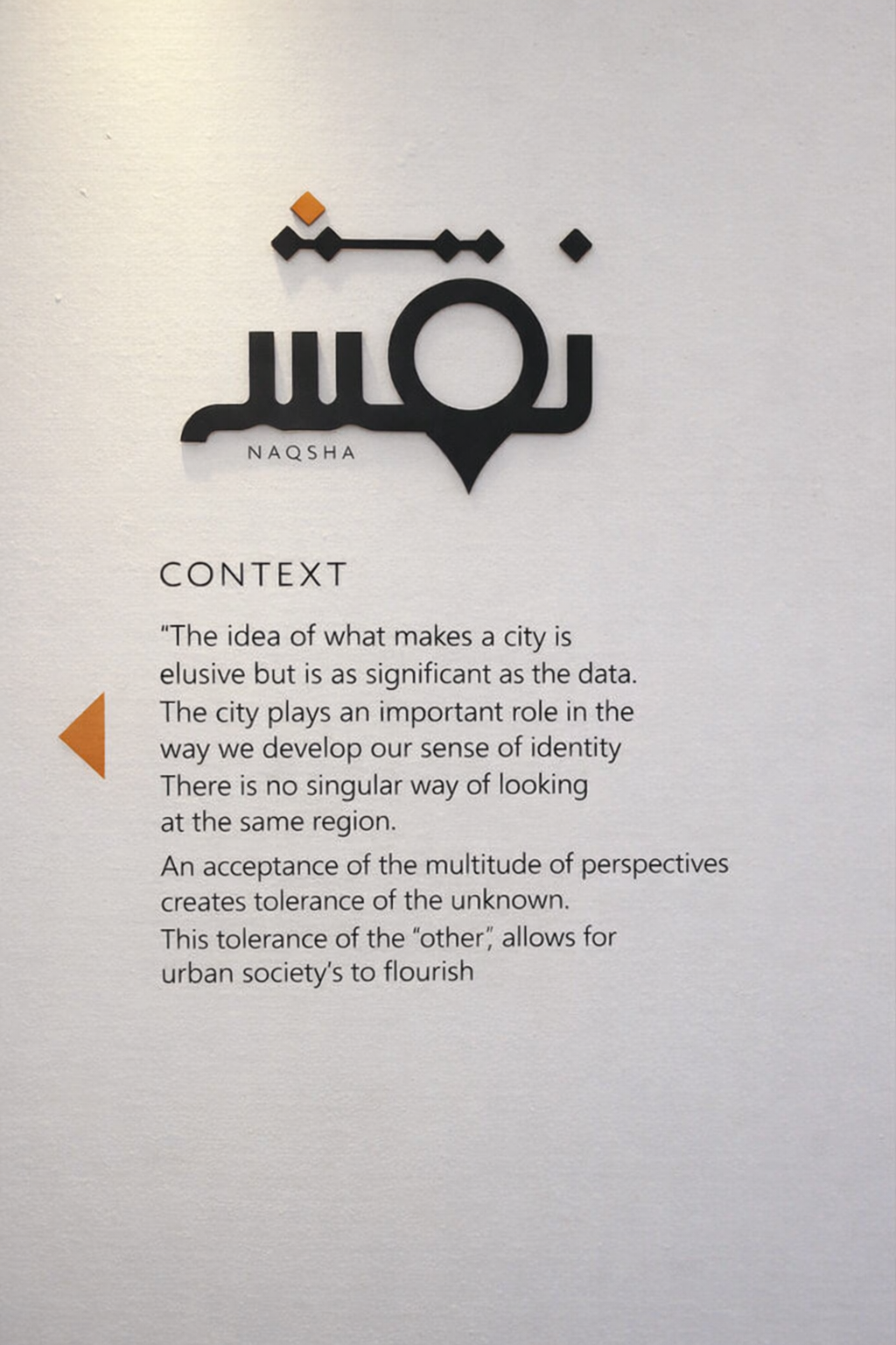
The city I belong to is Lahore. Lahore has not one but multiple layers that informs it's identity that are a result of it's inherited past and present conditions. The idea of what makes a city is elusive but is as significant as the data. The city plays an important role in the way we develop our sense of identity. This urban identity is one way we try to define ourselves, one way that I attempt to understand my own identity. When I typed in 'Pakistan' in the google search engine, I stumbled upon images of violent protests, men holding weapons and masses of people seemingly in distress. I found myself questioning why these images are the chosen few that appear and how these would perpetuate a bias or skew the perception of a region and it's community.
Questions about identity and representation become even more prevalent in the recent political climate that has highlighted this fear of the 'other'. It made me curious to understand how cultural images are formed and what these images reflect about the people they claim to represent? And how can we include more diverse representations that embrace the multiplicity of narratives within a city, sourced by communities that actually inhibit it?
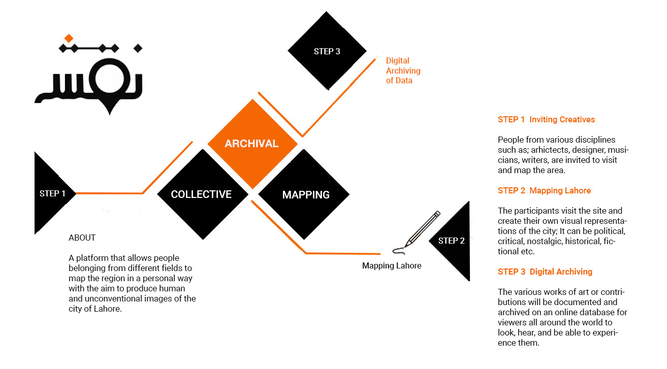
The idea was to create a digital platform that would archive and showcase more personal mappings of Lahore. I use the term mapping here broadly to refer to a range of image formations of a city. It could include cartographic methods but is not limited to it. The medium of choice is open to the participant's interpretation of the term mapping. There is no singular way of looking at the same region. An acceptance of the multitude of perspectives creates tolerance of the 'other' and allows urban societies to flourish.
Project structure
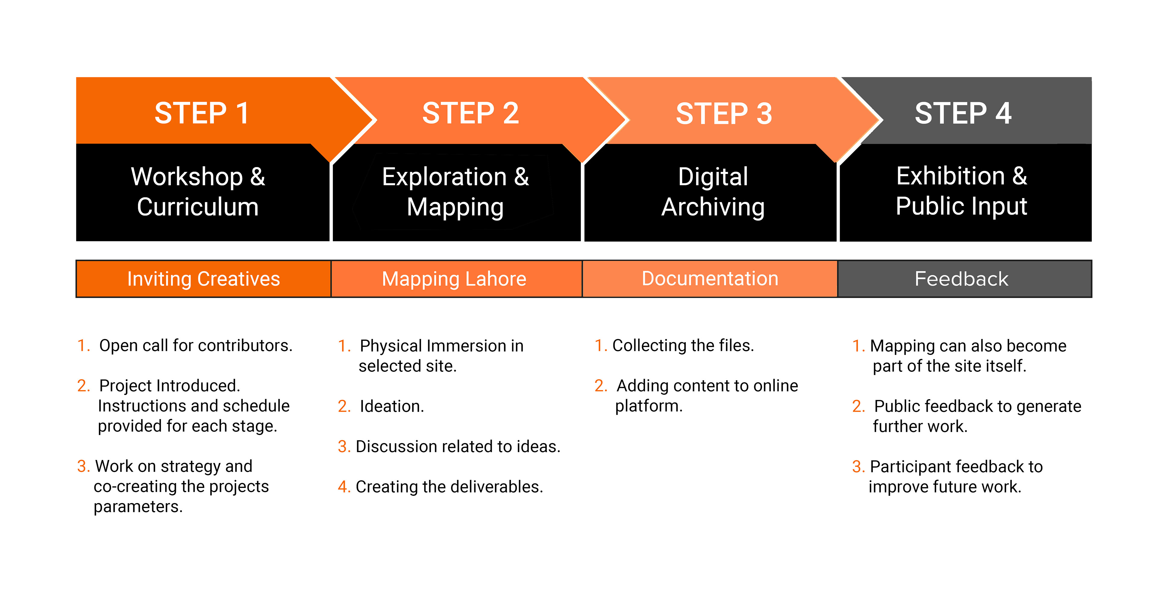
The project was designed as a multidisciplinary collaboration and required contributions from other participants to be made for the archive. It was structured as a case study in order to gain insights for future implementation. The initial work consisted of 3 contributing projects which included; a designer (myself), an architect and a textile artist.
I adopted the role as project lead and short listed an area within the city. The same site was chosen for easy accessibility but also to illustrate how the same place can viewed through a multitude of lenses. The Mall Road and the surrounding areas were chosen as the first site due to its symbolic significance for the old city region.
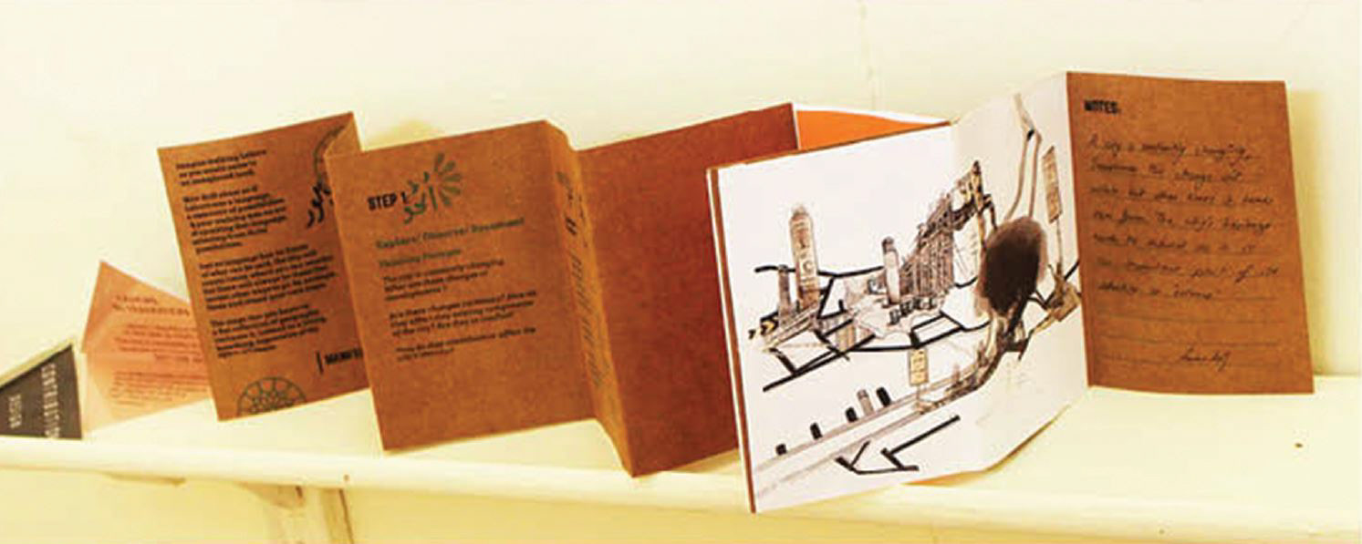
Guidelines- Info book as an initial prompt
Each participant was given a travel book which includes guidelines, and questions prompts to help them begin. It included a timeline, Maps to collect data on the spot as well as space for their own thoughts, sketches or collections